Bahrain Map PowerPoint & Google Slides Template
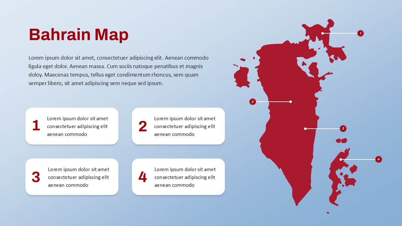
This Bahrain Map Template is a professionally crafted visual aid designed to represent regional data, business distribution, or strategic points of interest within the Kingdom of Bahrain. Featuring a clean, minimalist design with a clearly segmented layout, this template is ideal for professionals who want to present geographic data with clarity and impact.
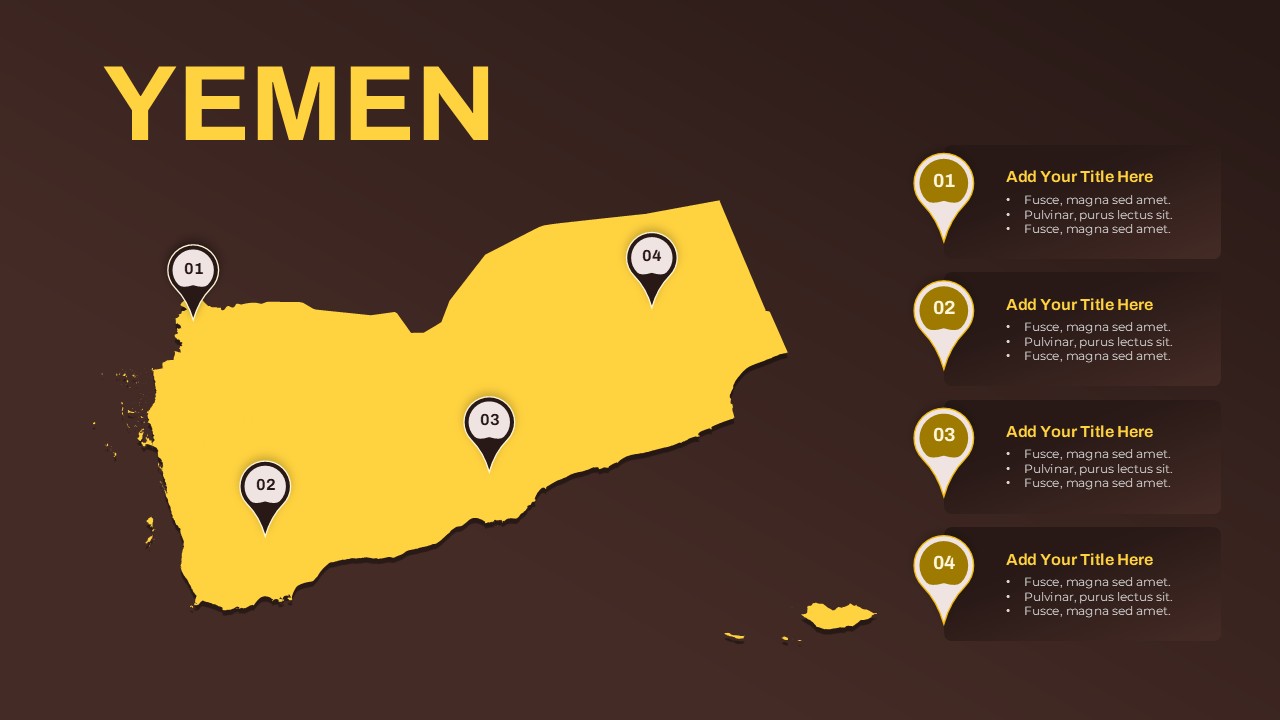
The map showcases the major islands and regions of Bahrain, each pinpointed and numbered for easy reference. Four dedicated text boxes allow users to add customized descriptions, enabling effective storytelling for presentations in business, academia, or government. Whether you’re highlighting sales performance across regions, outlining expansion strategies, or detailing demographic insights, this slide provides a compelling and professional backdrop.
The red color scheme used in the map emphasizes visibility and focus, while the soft gradient background ensures a modern and polished aesthetic. The layout is fully editable in both PowerPoint and Google Slides, offering flexibility to change colors, icons, and text for tailored presentations.
This template is especially useful for marketers, analysts, educators, and consultants working within or in relation to Bahrain. It can be used to enrich corporate reports, regional marketing plans, operational overviews, and country-specific briefings, helping you deliver insights in a visually compelling format.
See more

Aspect Ratio
16:9Item ID
SKT03457
Features of this template
Other User Cases of the Template
Regional sales analysis, market expansion strategies, business presence mapping, educational geography lessons, government project reporting, location-based service planning, tourism presentations, political or demographic segmentation, international business briefings, academic research visualization
FAQs
You May Also Like These Presentation Templates


- Free
- Free

- Free


- Free