Belgium Map Presentation Template For Power Point and Google Slides

The Belgium map for power point is a visually compelling slide design tailored for presentations related to Belgium. With a sleek and modern layout, this map slide template incorporates a stylized Belgium map divided into its regional divisions, colored in the national flag’s black, yellow, and red scheme. This makes it an excellent tool for geographic, business, or demographic presentations.
The template features a structured format, including a vertical numbered section on the left with space for detailed text descriptions. This allows users to present regional insights, statistical data, market analysis, or tourism highlights effectively. The integration of Belgium’s flag colors adds a patriotic and professional touch, making it ideal for official reports, business expansions, or political discussions.
Whether used for educational purposes, economic overviews, regional comparisons, or travel presentations, this template ensures a clear and engaging way to present information. It is fully customizable, allowing users to modify colors, text, and design elements to fit their specific needs.
Perfect for researchers, policymakers, business analysts, and educators, the Belgium Map Presentation Template enhances storytelling with a visually structured and data-driven approach.
See more

Aspect Ratio
16:9Item ID
SKT03179
Features of this template
Other Use Cases of the Template:
Geographic analysis, business expansion strategy, economic report, tourism presentation, political discussions, regional market research, cultural overview, demographic analysis, transportation planning, educational lecture on Belgium.
FAQs
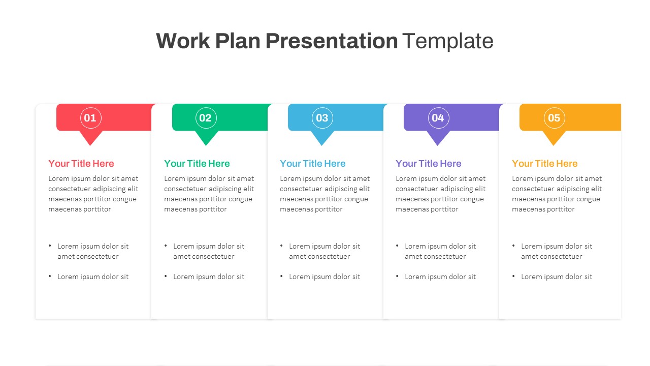
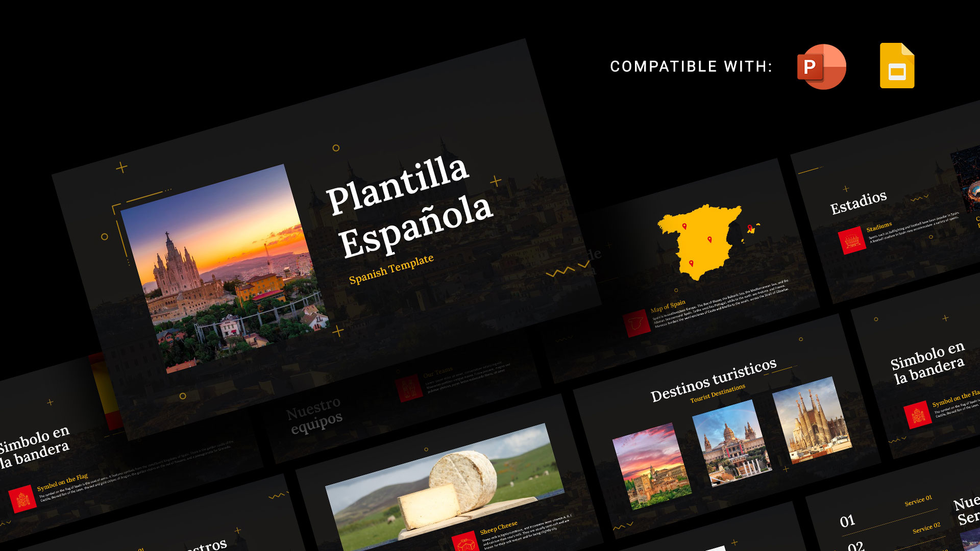
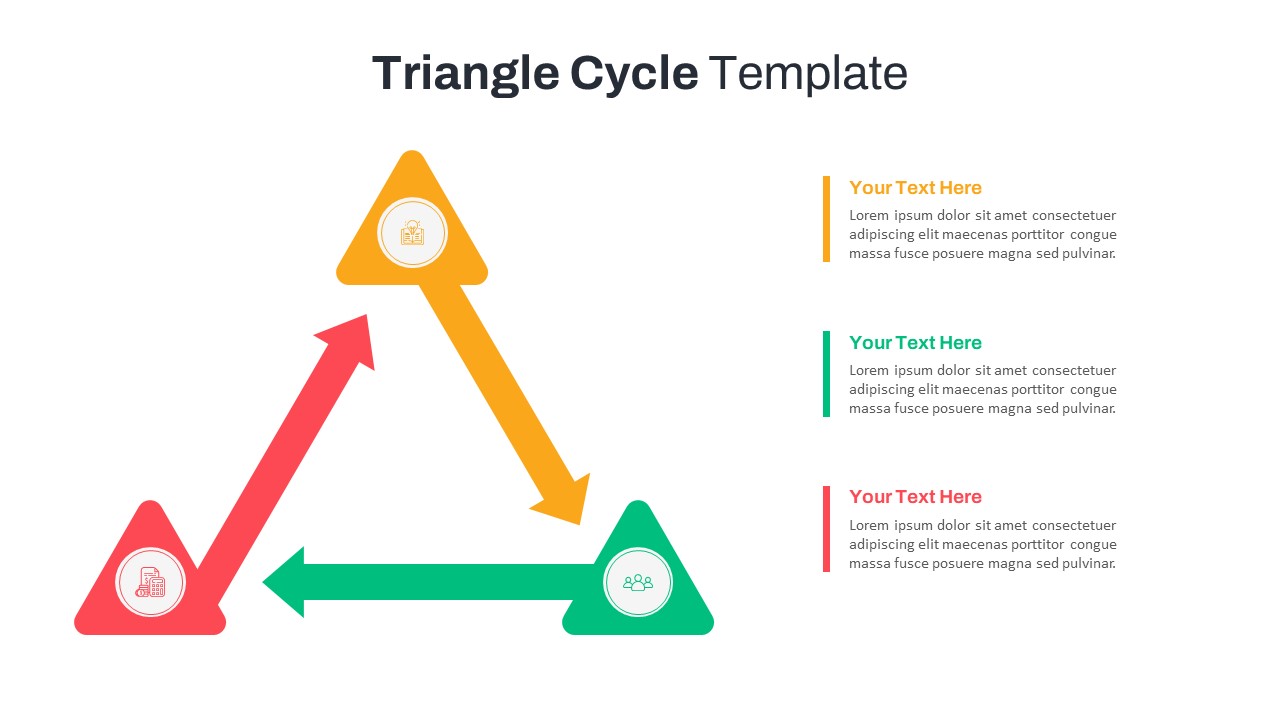
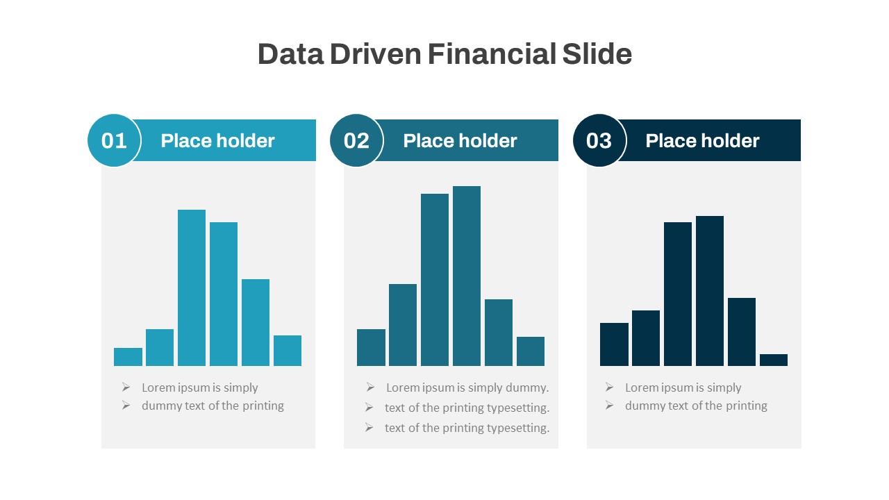
You May Also Like These Presentation Templates


- Free
- Free


- Free
- Free

- Free
- Free

- Free
- Free
- Free
- Free
- Free
- Free
- Free
- Free
- Free
- Free
- Free
- Free