Croatia Map PowerPoint and Google Slides Template

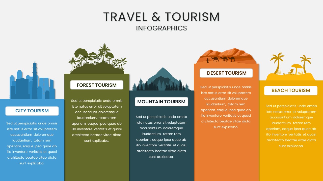
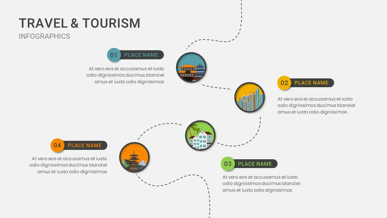
The Croatia map on PowerPoint Template is a visually structured and insightful tool designed to showcase regional analysis, tourism trends, business expansion, and geographical data related to Croatia. This europe croatia map template is perfect for travel agencies, government organizations, business strategists, and market analysts looking to highlight key data points across different regions.
With a color-coded map of Croatia, this template categorizes areas based on tourism activity, economic growth, or business potential, making it easy to visualize and analyze regional performance. The left panel offers space to define high, moderate, and low-impact regions, helping businesses and researchers gain a deeper understanding of market trends.
Key Features:
Detailed Croatia Map with Color Coding – Easily visualize different levels of tourism or business activity
Customizable Data Sections – Modify text, colors, and categories to fit specific research needs
Ideal for Market Research & Regional Analysis – Perfect for tourism reports, economic studies, and investment mapping
Compatible with PowerPoint & Google Slides – Fully editable for easy adaptation
This template is ideal for tourism agencies, policymakers, investors, urban planners, and educators who need to present geographical insights, tourism trends, or economic strategies effectively. Whether you’re analyzing tourism potential, regional development, or market opportunities, the Croatia Map Presentation Template provides a clear and engaging way to present data-driven insights.
See more

Aspect Ratio
16:9Item ID
SKT03246
Features of this template
Other Use Cases of the Template:
Tourism industry analysis, business expansion strategy, economic development presentations, regional investment mapping, logistics and transportation planning, government policy reports, travel and hospitality studies, real estate market analysis, demographic research, urban planning proposals.
FAQs
You May Also Like These Presentation Templates


- Free

- Free


- Free
- Free

- Free
- Free

- Free