Editable Peru Map PowerPoint and Google Slides Template

The Peru Map Presentation Template is a sleek and informative slide design crafted to help users present geographic, demographic, and strategic data related to Peru. Ideal for business professionals, educators, government officials, researchers, and tourism agencies, this template offers a clean and engaging layout to communicate key insights about regions within the country.
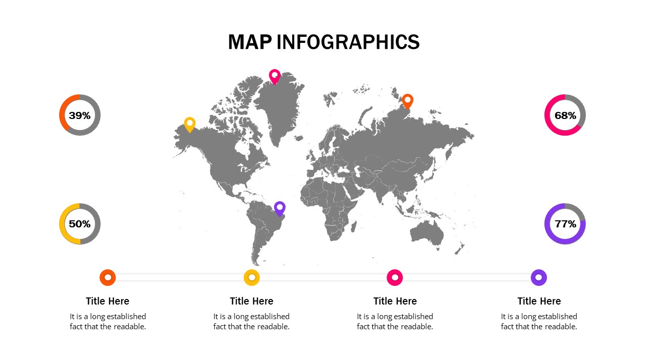
At the heart of the slide is a detailed political map of Peru, marked with three prominent location pins, each linked to a corresponding text box. These callouts can be used to highlight economic zones, project sites, city-specific data, regional trends, or tourism insights. The bright blue gradient background with yellow-orange highlights ensures excellent visual contrast and a modern presentation style.
Key Features:
- Editable Peru map with detailed region borders.
- Three location markers with connected text boxes for easy annotation.
- Customizable placeholders for adding region-specific data and titles.
- Vibrant and professional color scheme to enhance visual impact.
- Fully compatible with PowerPoint and Google Slides for quick customization.
Whether you’re delivering a business expansion report, a regional economic overview, or a tourism-focused pitch, this Peru Map Template is the perfect tool to support clear, engaging, and well-structured storytelling.
See more

Aspect Ratio
16:9Item ID
SKT03361
Features of this template
Other User Cases of the Template:
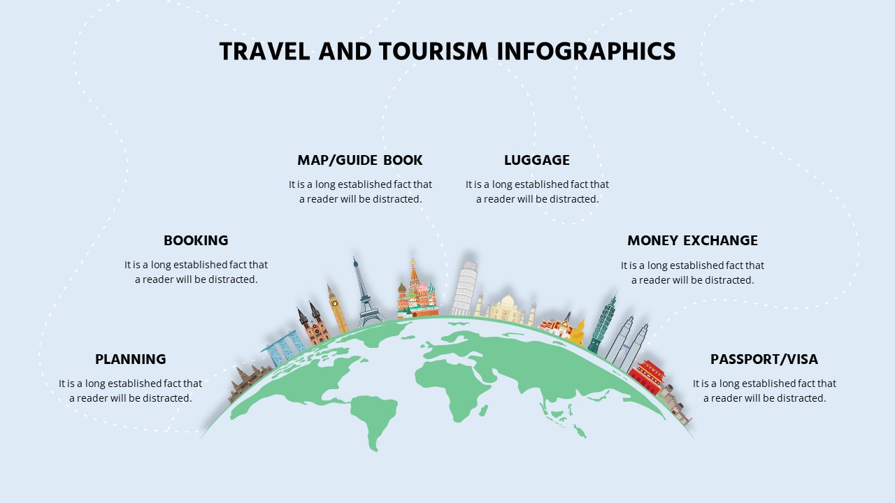
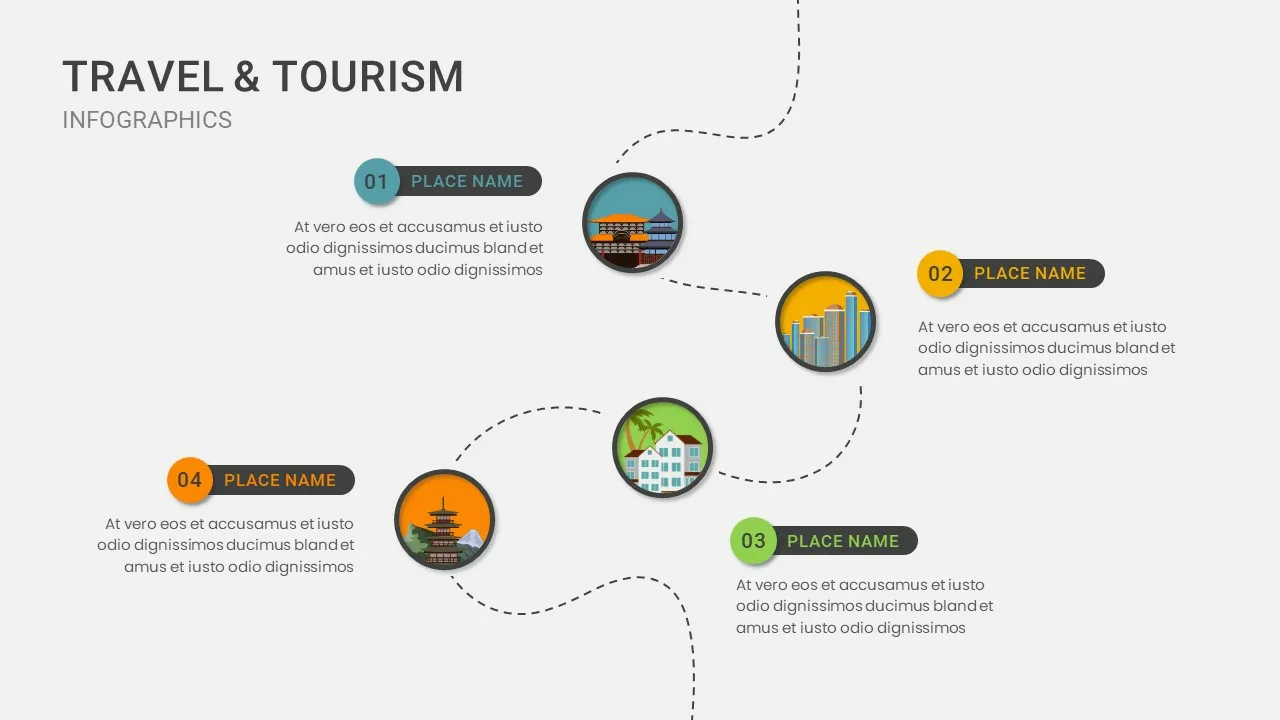
Business expansion planning, government development reports, regional data visualization, educational geography lessons, tourism marketing, NGO outreach strategies, infrastructure project updates, trade and investment mapping.
FAQs
You May Also Like These Presentation Templates


- Free

- Free


- Free

- Free