Finland Map PowerPoint & Google Slides Template

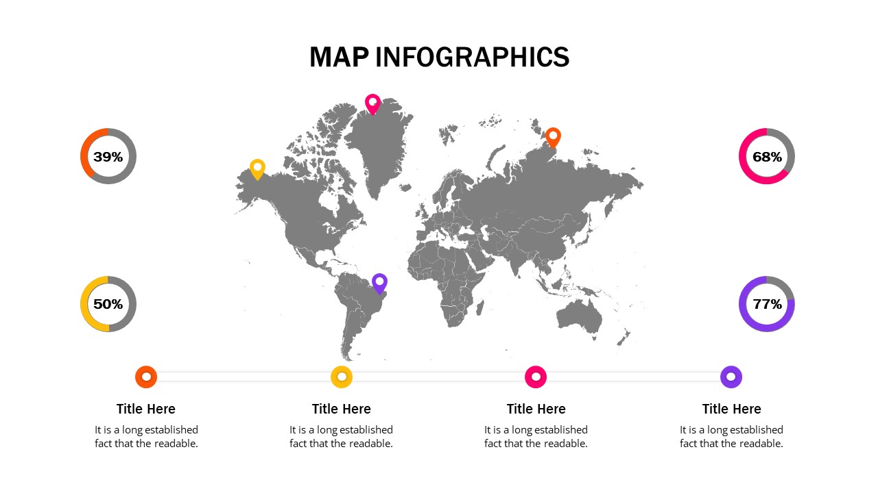
The Finland Map Presentation Template is a professionally designed slide that visually represents Finland’s geography, regions, and key locations. Ideal for business reports, market research, tourism analysis, and educational purposes, this map power point template provides a clear and structured format for showcasing geographical and statistical information.
This template features a detailed, color-coded map of Finland, with different regions highlighted in shades of blue. Additionally, it includes location markers to pinpoint specific areas, making it ideal for business expansions, logistics planning, or regional data presentations. The left side of the slide offers ample text space for adding insights, descriptions, or key findings, while a legend section at the bottom helps categorize the information effectively.
Perfect for business professionals, educators, researchers, and government officials, this template can be customized by modifying colors, text, and markers to suit specific presentation needs. Whether you’re discussing economic growth, tourism trends, regional demographics, or business opportunities in Finland, this slide provides a clean and visually appealing format to convey your message.
Compatible with PowerPoint and Google Slides, this template ensures seamless integration into professional and academic presentations. Download it today to create impactful and informative Finland-focused presentations!
See more

Aspect Ratio
16:9Item ID
SKT03215
Features of this template
Other Use Cases of the Template:
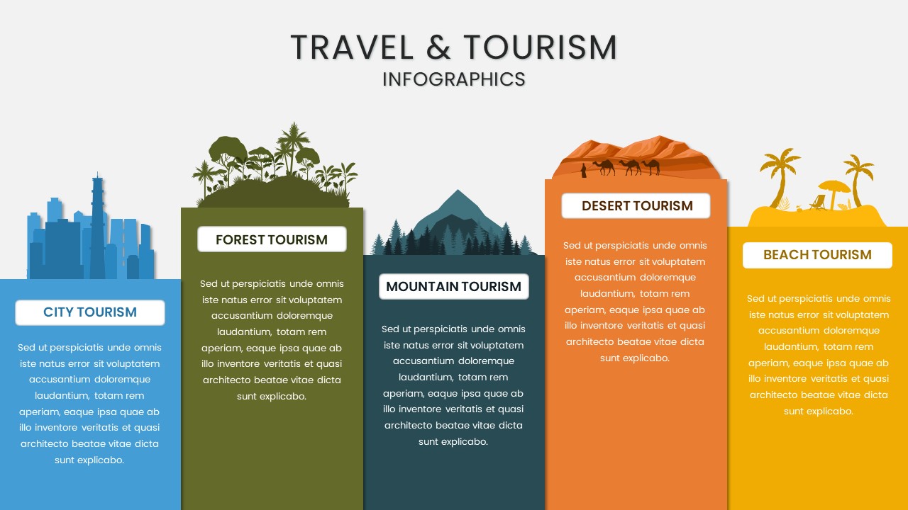
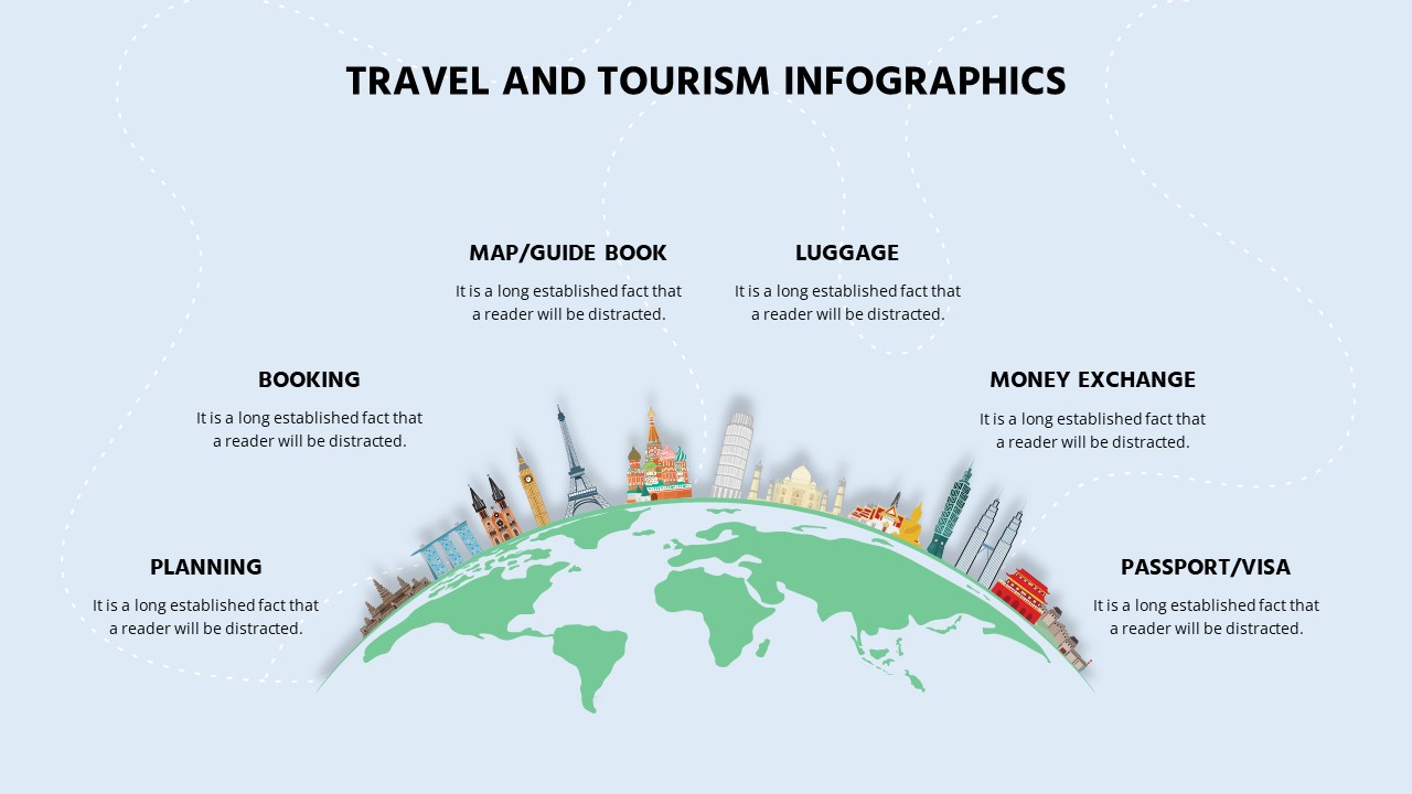
Market research reports, business expansion strategies, tourism industry analysis, economic development presentations, demographic studies, corporate strategy meetings, trade and investment discussions, educational geography lessons, political analysis, logistics and transport planning.
FAQs
You May Also Like These Presentation Templates


- Free
- Free

- Free
- Free
- Free
- Free
- Free
- Free

- Free
- Free
- Free
- Free