Haiti Map for PowerPoint and Google Slides

Showcase geographic, economic, and business insights with the Haiti Map for PowerPoint and Google Slides Presentation Template. This professionally designed map on PowerPoint template is ideal for presentations related to business expansion, regional analysis, tourism, history, demographics, and government planning. With a visually appealing map of Haiti, this template helps users highlight specific locations, key cities, or regions with customizable markers and text boxes.
Key Features:
- Editable Haiti Map – A detailed vector-style map with distinct regions.
- Customizable Location Markers – Easily highlight key cities, business locations, or important points of interest.
- Professional Layout – A balanced, modern design with a blue and gold theme for clarity and impact.
- Text Annotations – Space to add descriptions, analysis, or relevant data points alongside highlighted locations.
- Fully Customizable – Modify colors, text, markers, and icons to fit your presentation needs.
This template is perfect for business professionals, educators, government agencies, and researchers who need to visually communicate regional insights, economic opportunities, travel destinations, or strategic plans for Haiti. Whether you’re analyzing tourism growth, economic trends, humanitarian efforts, or political developments, this versatile and engaging template ensures a clear and compelling presentation.
Compatible with PowerPoint and Google Slides, this template makes it easy to adapt and personalize according to your specific needs.
See more

Aspect Ratio
16:9Item ID
SKT03328
Features of this template
Other Use Cases of the Template
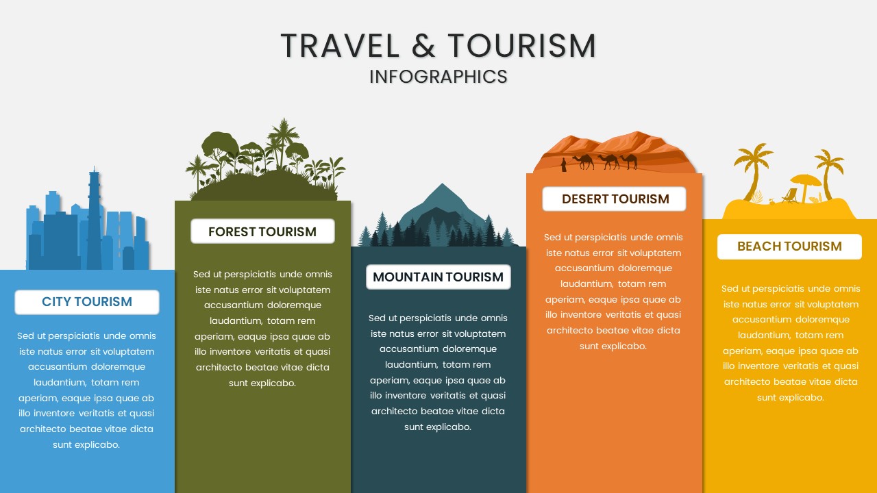
Business expansion strategy, market research, economic analysis, tourism development, government policy planning, logistics and supply chain mapping, demographic studies, regional investment analysis, educational geography lessons, humanitarian aid reports.
FAQs
You May Also Like These Presentation Templates


- Free


- Free

- Free
- Free
- Free
- Free
- Free