Ireland Map Presentation Template for PowerPoint and Google Slides

Enhance your geographic and data-driven presentations with the Ireland Map PowerPoint and Google Slides Template. This visually engaging map slide template is ideal for businesses, educators, analysts, and marketers looking to present regional data, demographic trends, business expansion plans, or tourism insights across Ireland.
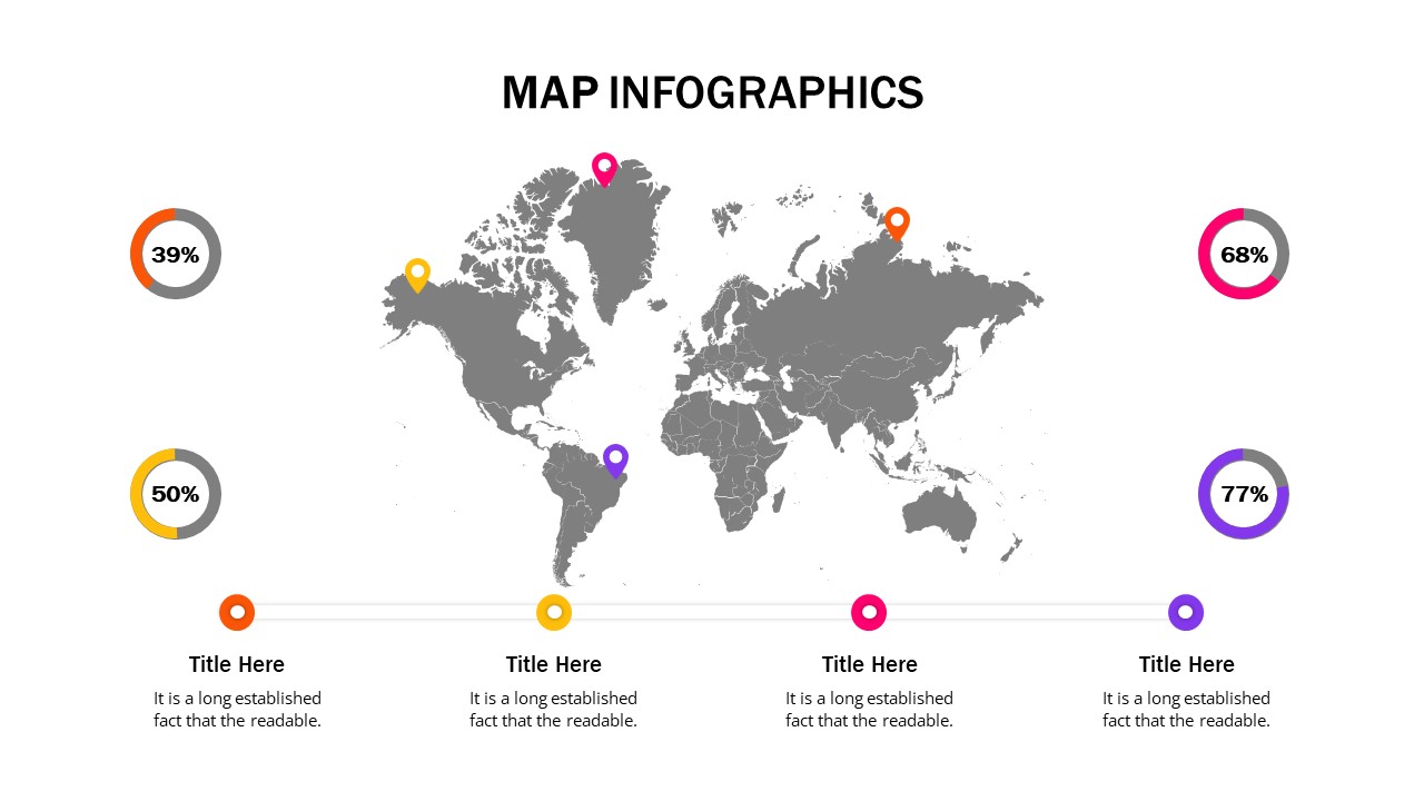
The color-coded regions highlight key areas such as Donegal, Mayo, Wicklow, and Cork, making it easy to illustrate comparisons or showcase different regions’ statistics. With the addition of percentage-based infographics and labeled pointers, users can effectively visualize key metrics like population distribution, business growth, regional performance, and economic indicators.
Designed for business professionals, government agencies, educators, and researchers, this template provides an effective way to map data insights related to market analysis, sales distribution, political segmentation, and regional reports. The elegant green theme with shamrock accents gives it a distinct Irish identity, making it perfect for tourism promotions, economic reports, and cultural presentations.
Fully editable and compatible with PowerPoint and Google Slides, users can customize the colors, text, and layout to fit their needs. Whether you’re presenting business expansion strategies, travel insights, or geographic analytics, this Ireland Map Template ensures your data is displayed with clarity and impact.
See more

Aspect Ratio
16:9Item ID
SKT03320
Features of this template
Other Use Cases of the Template:
Business expansion planning, market segmentation analysis, tourism presentations, regional economic reports, sales distribution mapping, geographic research, political analysis, cultural heritage mapping.
FAQs
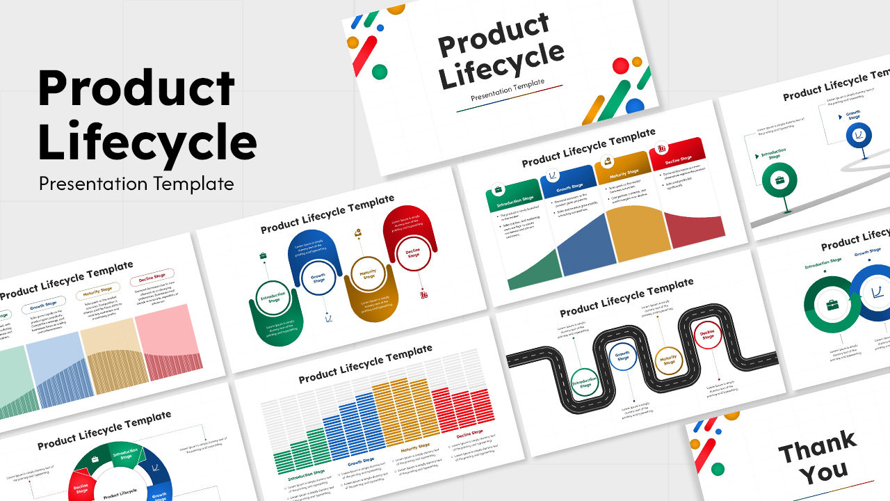
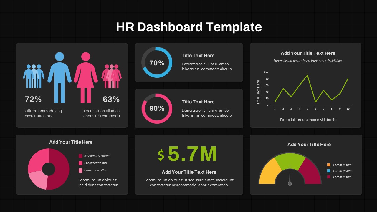
You May Also Like These Presentation Templates


- Free


- Free

- Free


- Free