PowerPoint and Google Slides Map of Antigua and Barbuda

The PowerPoint map of Antigua and Barbuda is a professionally designed slide ideal for presentations related to geography, tourism, business expansion, and educational purposes. Featuring high-quality vector maps of the two islands, this template provides a detailed and visually appealing representation of Antigua and Barbuda.
The layout includes distinctly highlighted regions, making it easy to segment and present location-based data. Whether you’re analyzing market trends, illustrating travel routes, or showcasing demographic insights, this template serves as an effective visual aid. The maps are color-coded for clarity, with customizable text boxes allowing for easy annotation and data insertion.
Set against a modern, gradient-style background, this slide maintains a professional and clean look, ensuring that your information stands out effectively. The template also includes callouts and labels, making it useful for business reports, governmental studies, logistics planning, and academic research.
This template is fully editable in PowerPoint and Google Slides, enabling you to customize colors, fonts, and data points as needed. Whether for corporate use, educational materials, or tourism promotion, this Antigua and Barbuda Map Template helps deliver data in a structured and visually engaging manner.
See more

Aspect Ratio
16:9Item ID
SKT03257
Features of this template
Other Use Cases of the Template:
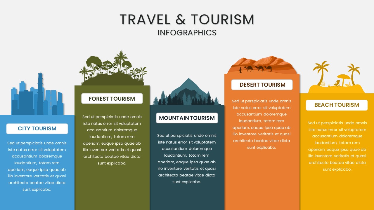
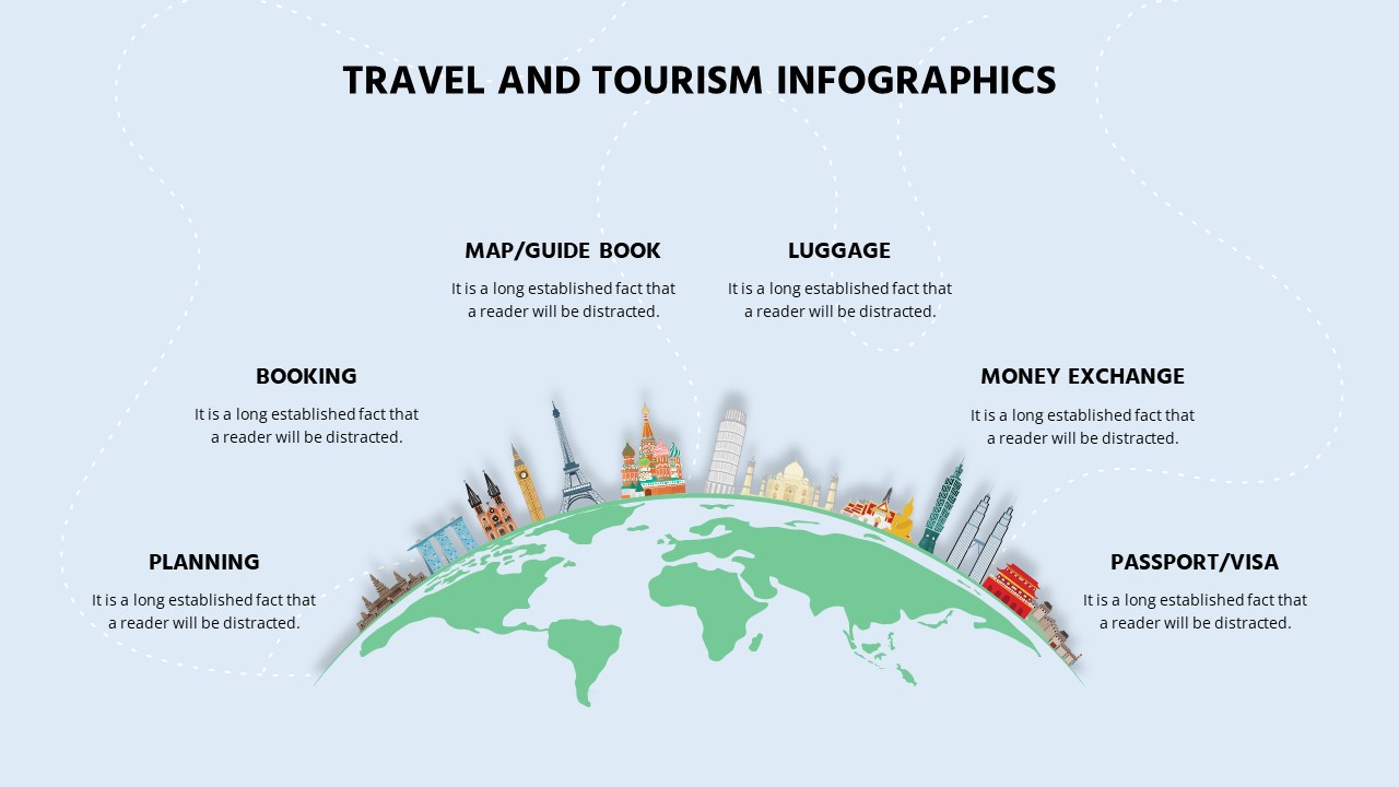
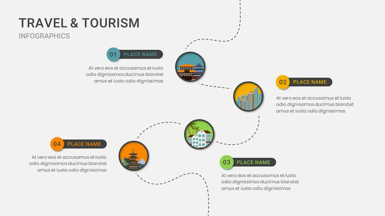
Tourism promotion, business expansion planning, demographic analysis, educational geography lessons, economic reports, logistics and transport mapping, regional development strategy, political boundary analysis, event planning, academic research presentations.
FAQs
You May Also Like These Presentation Templates


- Free
- Free


- Free


- Free
- Free
- Free
- Free
- Free
- Free
- Free
- Free
- Free
- Free
- Free
- Free
- Free
- Free
- Free