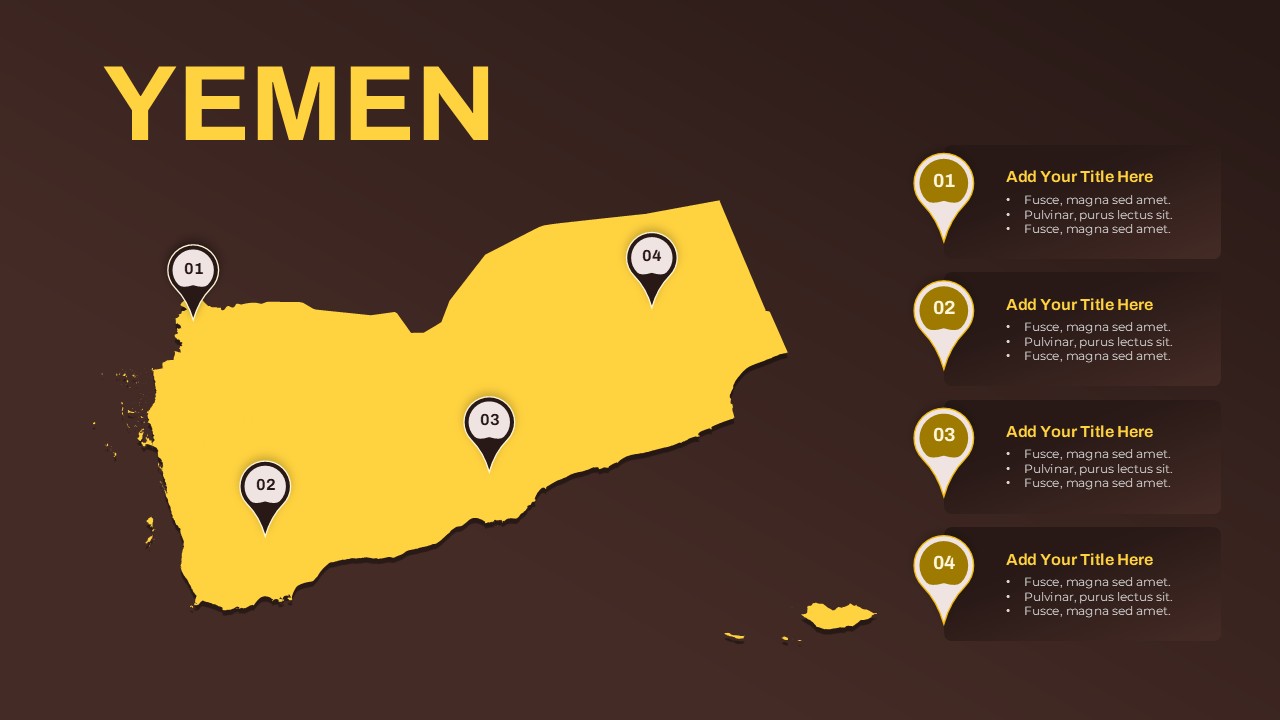
Turkmenistan Map Template for PowerPoint & Google Slides
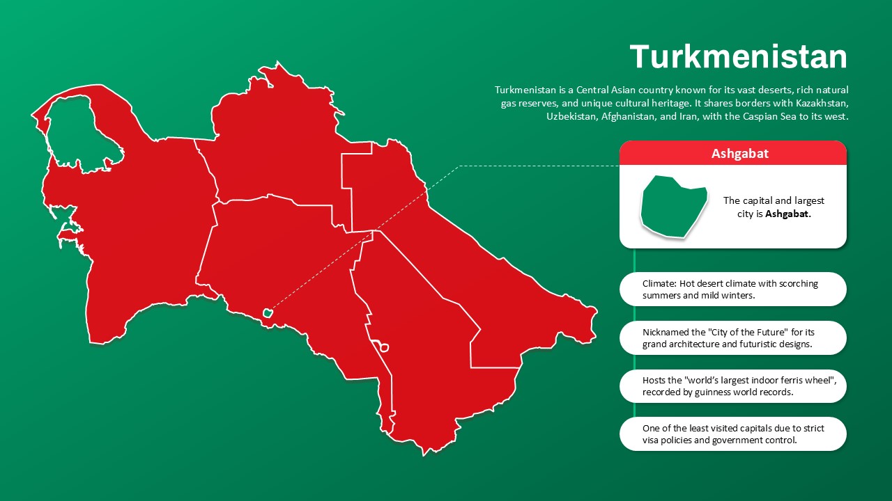
Present country-specific insights with clarity and impact using this Turkmenistan Map Template, compatible with PowerPoint and Google Slides. Designed with bold red and green contrast, the template highlights Turkmenistan’s geographic outline, major features, and key data, making it ideal for educational, geopolitical, or business presentations.
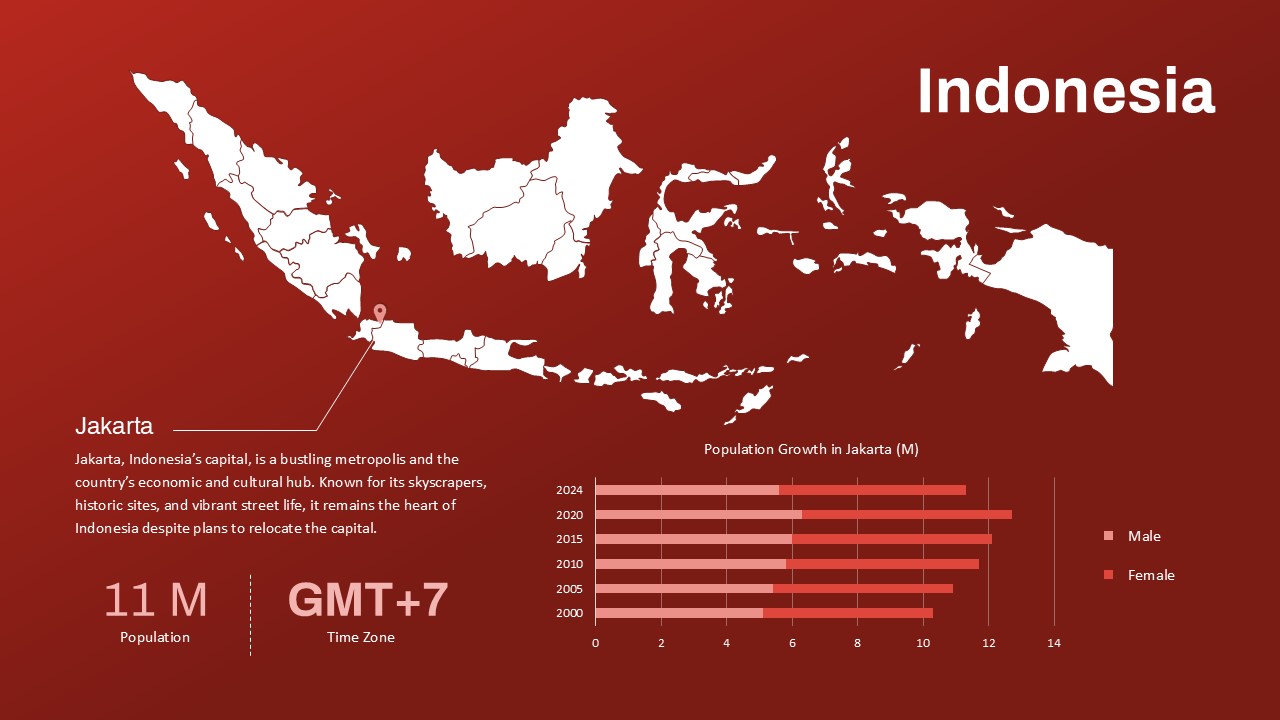
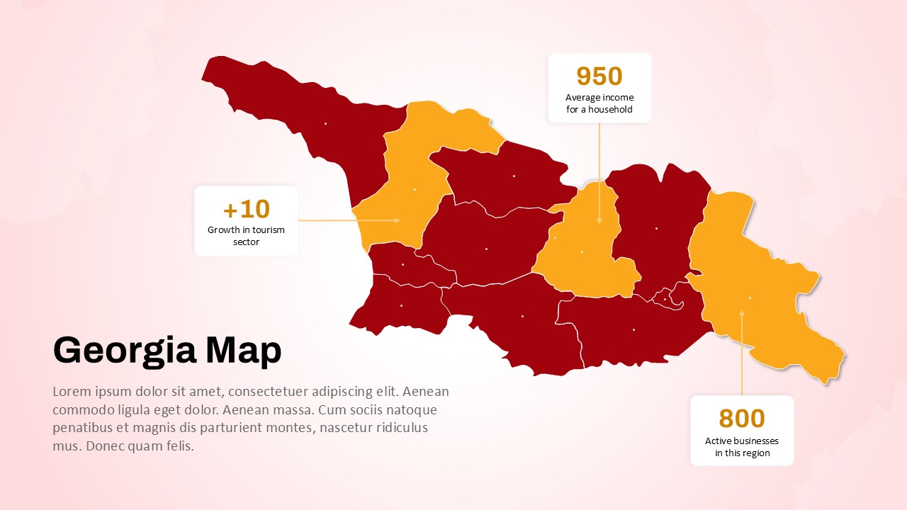
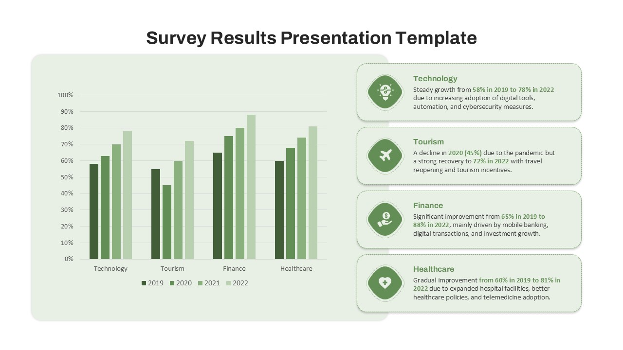
The map showcases the country’s internal divisions and clearly marks Ashgabat, the capital and largest city. A zoomed-in detail callout offers quick facts about Ashgabat, while supporting bullet points provide context on the nation’s climate, architecture, tourism highlights, and socio-political uniqueness.
Key features of the slide include:
- A visual callout of Ashgabat with iconography
- Informative labels covering Turkmenistan’s desert climate, nickname as the “City of the Future,” unique attractions like the world’s largest indoor Ferris wheel, and its tightly regulated access policies
This infographic is ideal for presenters looking to explore topics such as Central Asian geopolitics, tourism, international trade potential, or regional studies. Whether used in classrooms, business briefings, or cultural exchanges, the template delivers quick, engaging insights in a visually memorable format.
Fully editable and ready to customize, this map slide can easily be integrated into wider presentations or adapted for use with other Central Asian countries.
See more

Aspect Ratio
16:9Item ID
SKT03450
Features of this template
Other User Cases of the Template
Geopolitical analysis, tourism presentations, academic research, cultural studies, international relations briefings, global business expansion decks, travel education materials, embassy reports, regional economic reviews, government or NGO outreach sessions
FAQs
You May Also Like These Presentation Templates


- Free
- Free
- Free
- Free
- Free
- Free
- Free
- Free
- Free
- Free
- Free