US State Map For PowerPoint And Google Slides


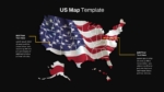
The US Map Presentation Template is an essential tool for visualizing geographic data, trends, and regional information across the United States. Featuring a detailed and customizable map of the US, this template allows you to highlight specific states or regions using distinct colors, markers, and text boxes. The template’s clear layout and design make it ideal for a variety of presentations, including business reports, educational lectures, marketing strategies, and demographic studies.
Each state can be individually colored, allowing you to visually distinguish between different areas, such as regions of focus, market segmentation, or areas of growth and opportunity. The US state map for PowerPoint template includes customizable text boxes positioned around the map, which enable you to provide detailed explanations, statistics, or insights related to the highlighted states or regions. This makes the template highly effective for presenting complex data in an easy-to-understand format.
Compatible with both PowerPoint and Google Slides, the US Map Template is highly versatile, making it suitable for presentations in various fields such as business, education, government, and more. Whether you’re analyzing market trends, outlining regional strategies, or teaching geography, this template provides a visually appealing and informative way to convey your message. It’s fully editable, allowing you to adjust colors, markers, and text to suit your specific needs.
See more

Aspect Ratio
16:9Item ID
SKT01059
Features of this template
Other User Cases of the Template:
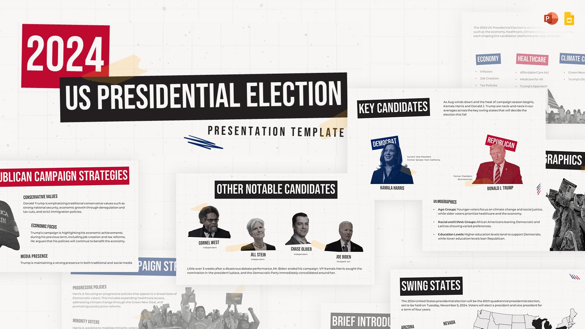
market segmentation analysis, regional sales reports, demographic studies, geographic education, state-by-state performance tracking, political campaign strategy, regional marketing plans, logistics and distribution mapping, educational geography lessons.FAQs
You May Also Like These Presentation Templates


- Free

- Free

- Free

- Free
- Free
- Free
- Free
- Free
- Free
- Free
- Free