Editable Yemen Map Template for PowerPoint & Google Slides
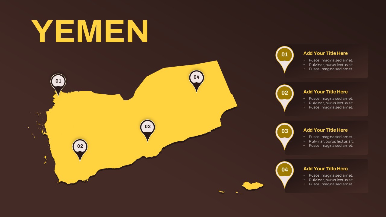
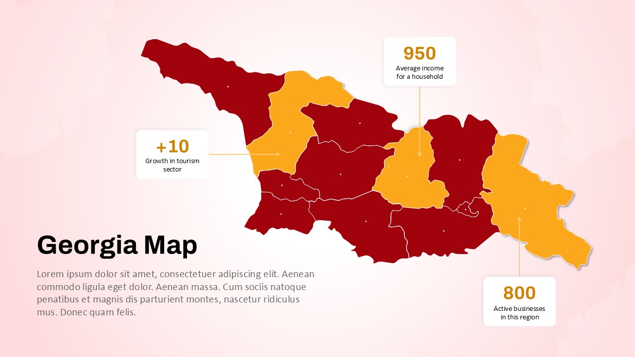
The Yemen Map PowerPoint Presentation Template offers a clear and visually appealing way to present region-specific data, strategies, or geographic highlights within Yemen. Featuring a modern dark-to-light contrast design, this template displays the country’s full map in a striking yellow hue, overlaid with pinpoint markers labeled 01 through 04. These markers correspond to customizable text boxes on the right, ideal for detailing key information tied to specific locations.
Whether you’re highlighting regional development plans, visualizing market expansion, identifying logistics hubs, or mapping out demographic statistics, this template provides a compelling format for geographic storytelling. Each marker is easily editable and can be tailored to represent cities, provinces, project zones, or administrative divisions.
Designed for clarity and engagement, this template suits government briefings, NGO reports, educational overviews, and business development presentations focused on Yemen. The inclusion of a prominent title, clear numbering system, and bullet points enhances content organization while maintaining a clean, professional aesthetic.
Fully compatible with both PowerPoint and Google Slides, this map slide is ideal for teams working across platforms and geographies. Its flexibility allows users to adapt the content to suit diverse needs—from humanitarian mapping and economic reporting to academic research and regional marketing.
See more

Aspect Ratio
16:9Item ID
SKT03643
Features of this template
Other User Cases of the Template
Regional development plans, humanitarian response mapping, logistics and transport planning, business expansion strategies, geographic education, market research reports, government briefings, NGO presentations, academic geography lessons, tourism and travel overviews.
FAQs
You May Also Like These Presentation Templates


- Free

- Free


- Free
- Free